To continue our trip from the Appenzell base, we are going to start our first hike towards the magnificent and slightly rocky mountains in Appenzellerland.
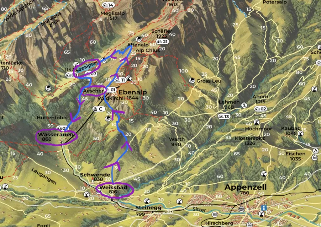
As you see from the map (This map is only for summer hikes and is subject to change by Appenzell Tourism), we will depart from Appenzell to Weissbad, and hike towards Äscher (a Hütte that offers dining and overnight stays). Then, we will take an arch down to Seealpsee. Finally, we will walk down the valley to Wasserauen, where we can take the train back to Appenzell.
Before we go:
Please wear proper hiking boots that can protect your ankles – trust me, you will not want to call a helicopter to rescue you in the mountains. Bring enough water, because you will need to stay hydrated. Don’t forget your first aid kit for minor injuries. You don’t really have to bring food unless you want to, since there are multiple Hütten (guesthouses) on the mountains. Trekking poles aren’t strictly necessary, but they can make your hike easier and help protect your knees.
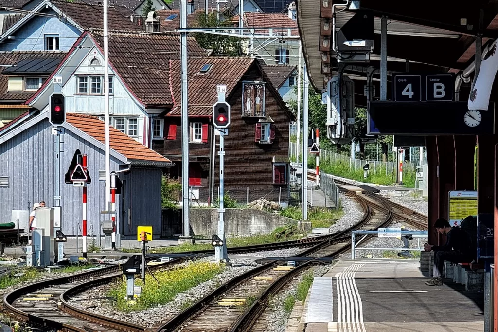
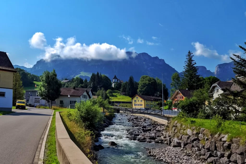
The train only takes 4 minutes to get to Weissbad. After arrival, most people will get onto the bus, but for this trip today, we won’t. Let’s cross the river, find the road called Triebernstraße, and follow the road, the hiking signs, and the map.
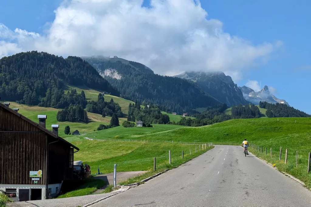
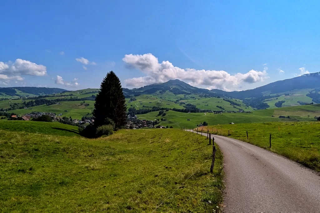
At the beginning, the road is wide, with occasional cars and cyclists passing by. But soon, we will turn onto Erstböhlstraße and then Bibern, where we won’t really see any cars. These are still very nice roads with gentle slopes.
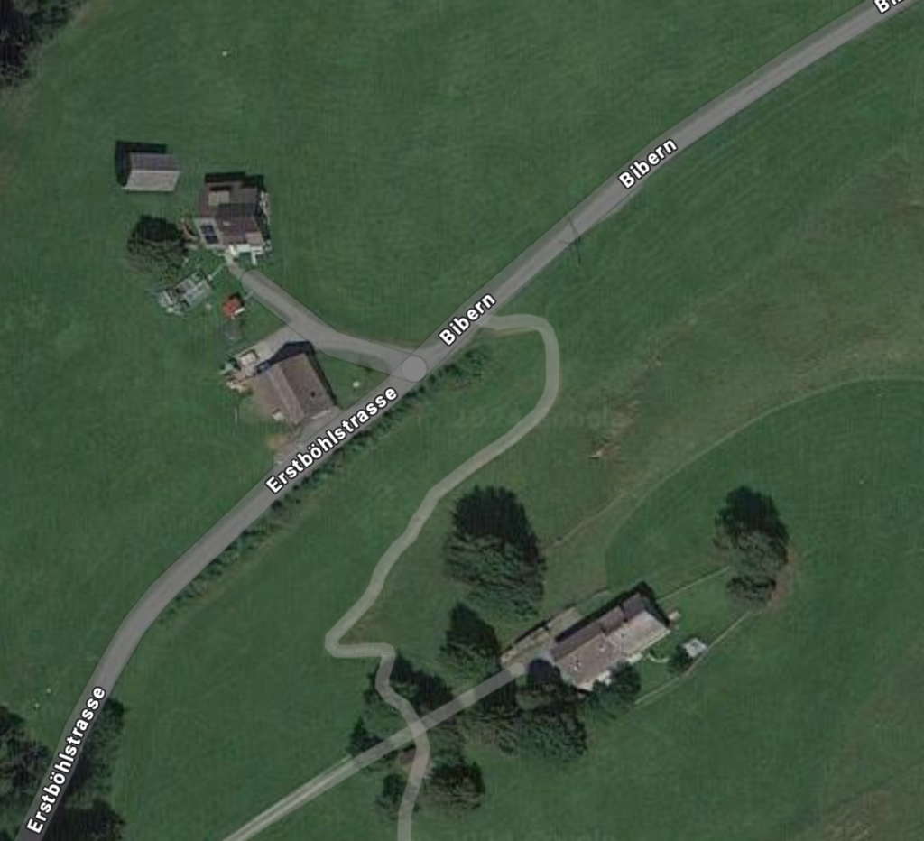
Nice streets don’t last forever. At some point, as you see on Google Maps, we will make a left turn onto a steep yet unnoticeable path and start our “real” hike.
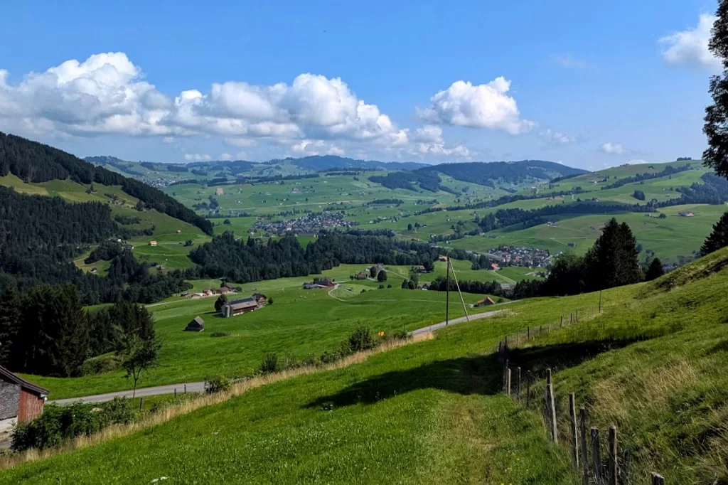
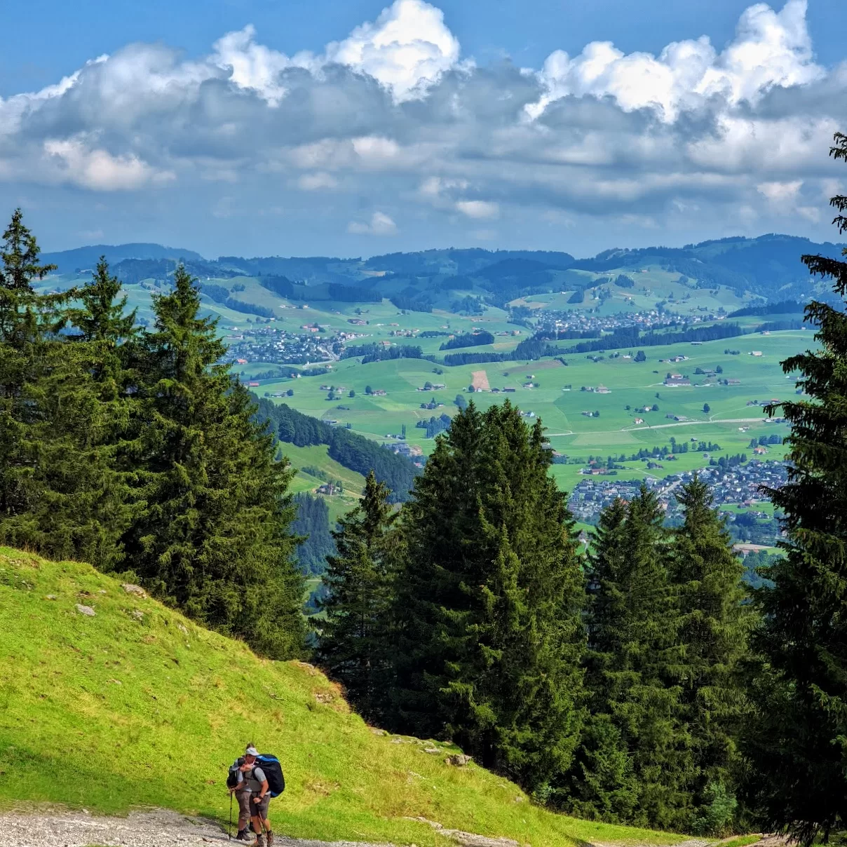
I know it’s getting a little tiring, but it’s okay to slow down and sometimes look back – you will see beautiful views behind you!
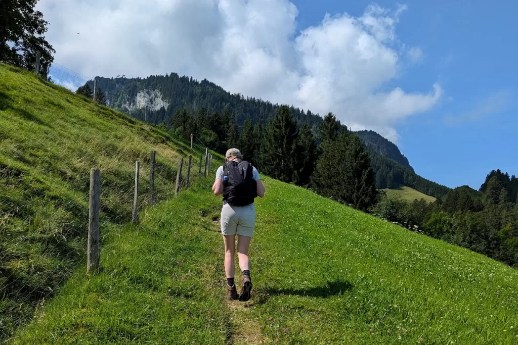
In rural areas of German-speaking regions, you often see thread fences to keep tourists out and animals in. Don’t touch them! Otherwise, you’ll get an electric shock. To continue the hike, there are gates with plastic handles so that hikers can open and pass through, but always remember to close the gate so the animals don’t escape!
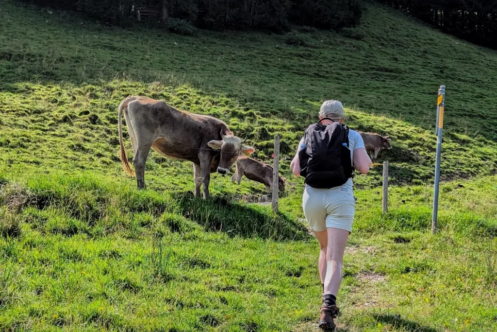
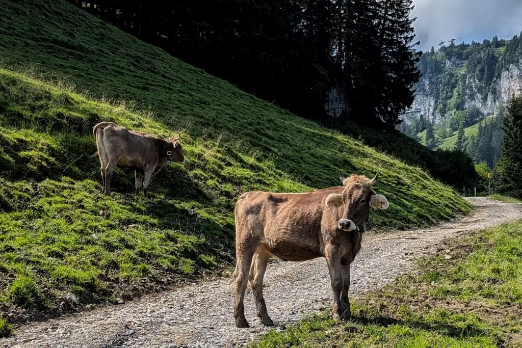
In the Alps, we will likely see cows. I know some people like to pet them, but they are not always tame, so try not to get too close. For example, we met a super bossy cow who didn’t want us to pass.
Let’s follow the sign pointing to Äscher and keep climbing! As we do so, we will find ourselves getting closer and closer to the clouds. When we are almost there, we’ll see the rocky cliff of Ebenalp, with water drops dripping down from it.
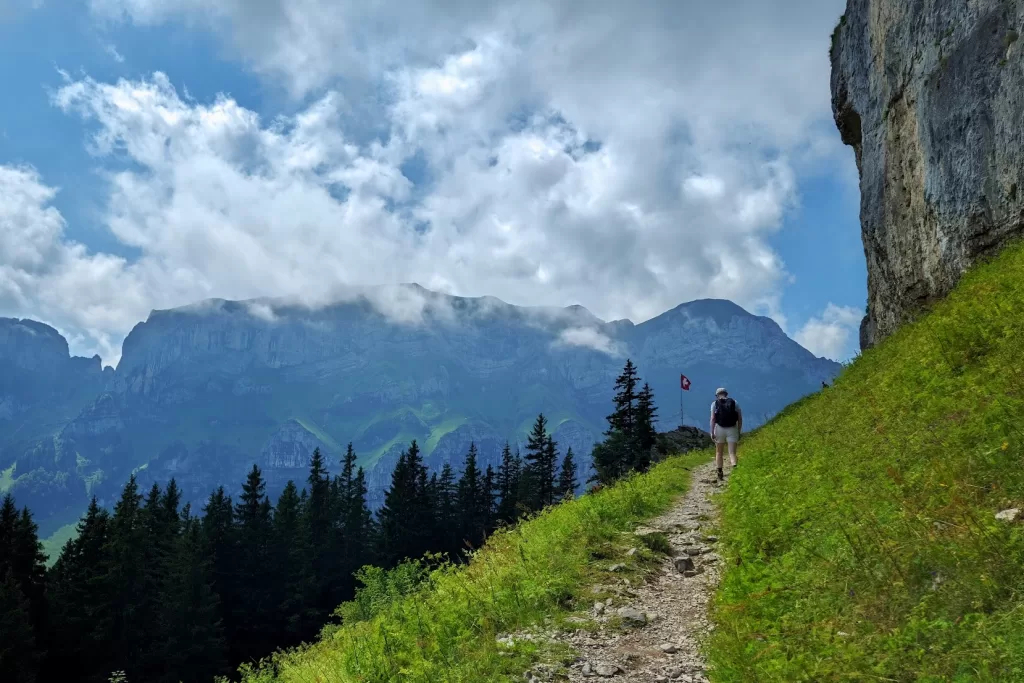
When you see a Swiss flag, it means you have reached the first point of this journey: Äscher. This Hütte has been standing here on the cliff since 1860 and has served thousands of guests who climbed up here and continued their journeys. Why don’t we enjoy a meal and a drink here? We need to fuel up to continue this trip because what’s ahead is rough! If you want, you can also stay overnight here. For detailed information, please check here.
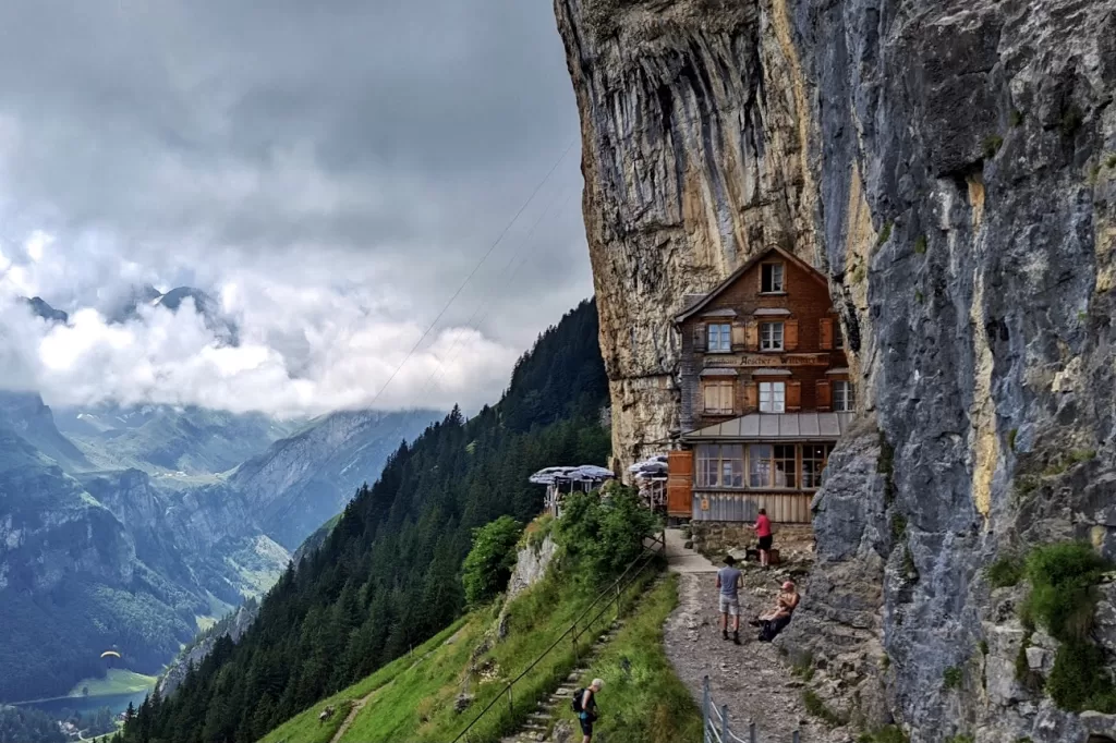
After Äscher, we can see a path leading straight down to the lake – Seealpsee. However, we are going to continue above, and I will bring you to the most fantastic and spectacular meadow in Switzerland! At the beginning, we will see some random woods and elevate a bit.
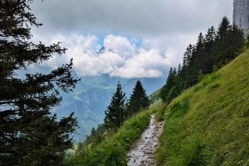
After that, we are going to be surrounded by a beautiful meadow filled with all sorts of flowers and herbs! The sunshine scatters across the meadow, making it golden and vibrant, which helps reduce the exhaustion of hiking. The herbs look very familiar to me because many of them are used in the stomach tea that I drink every day.
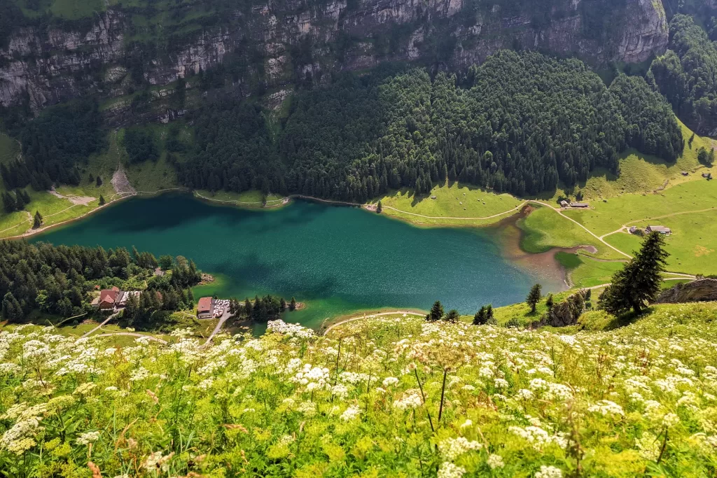
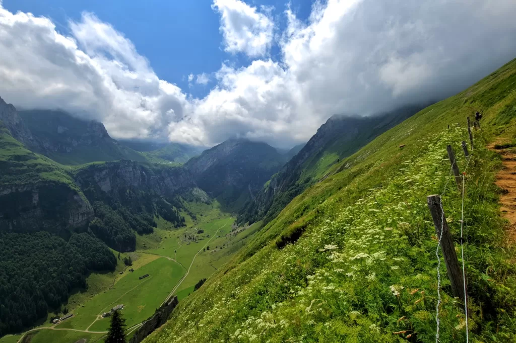
We were very lucky to see low-hanging clouds at the highest point of this hike right before we descended.
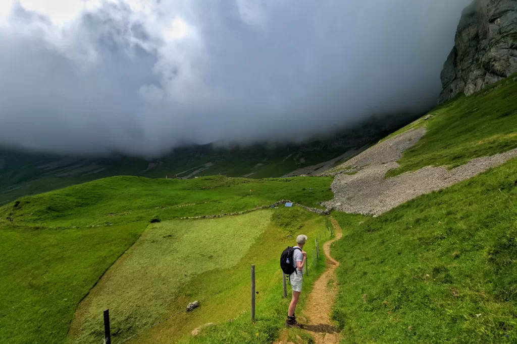
You might think that since we’ve done all the climbing, everything will be easier from here. No. We will find that even the start of the descent is unbearable: uneven stone paths and sometimes slippery because of the mountain rain.
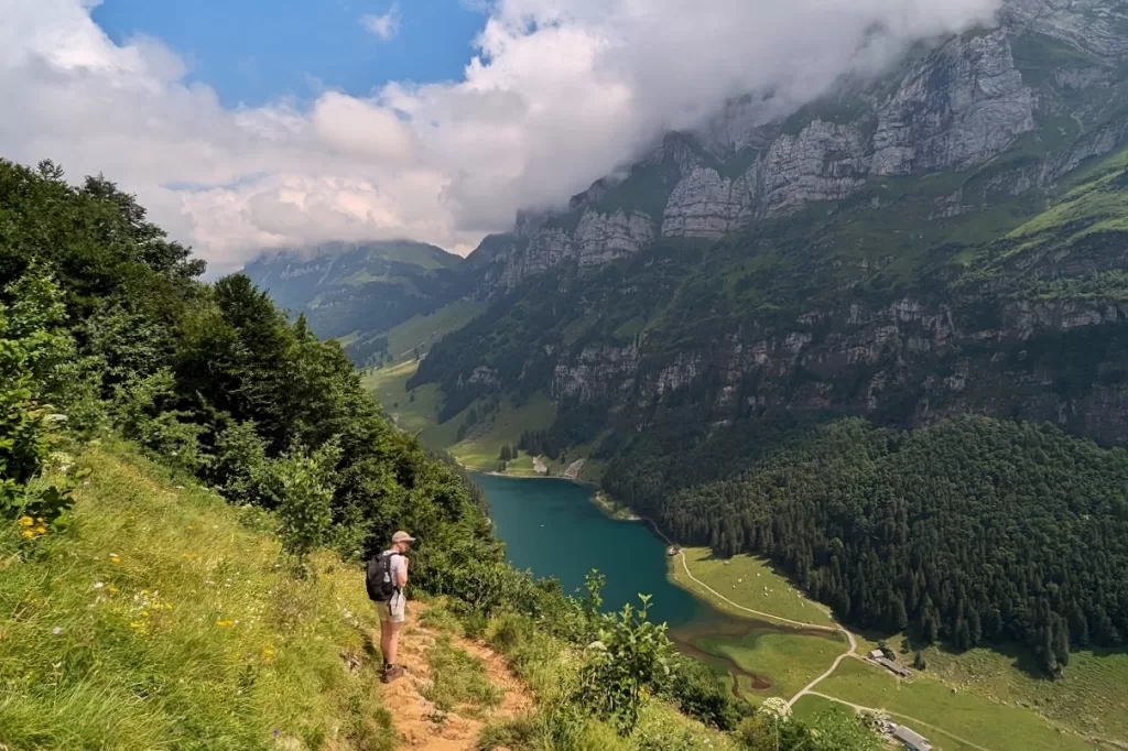
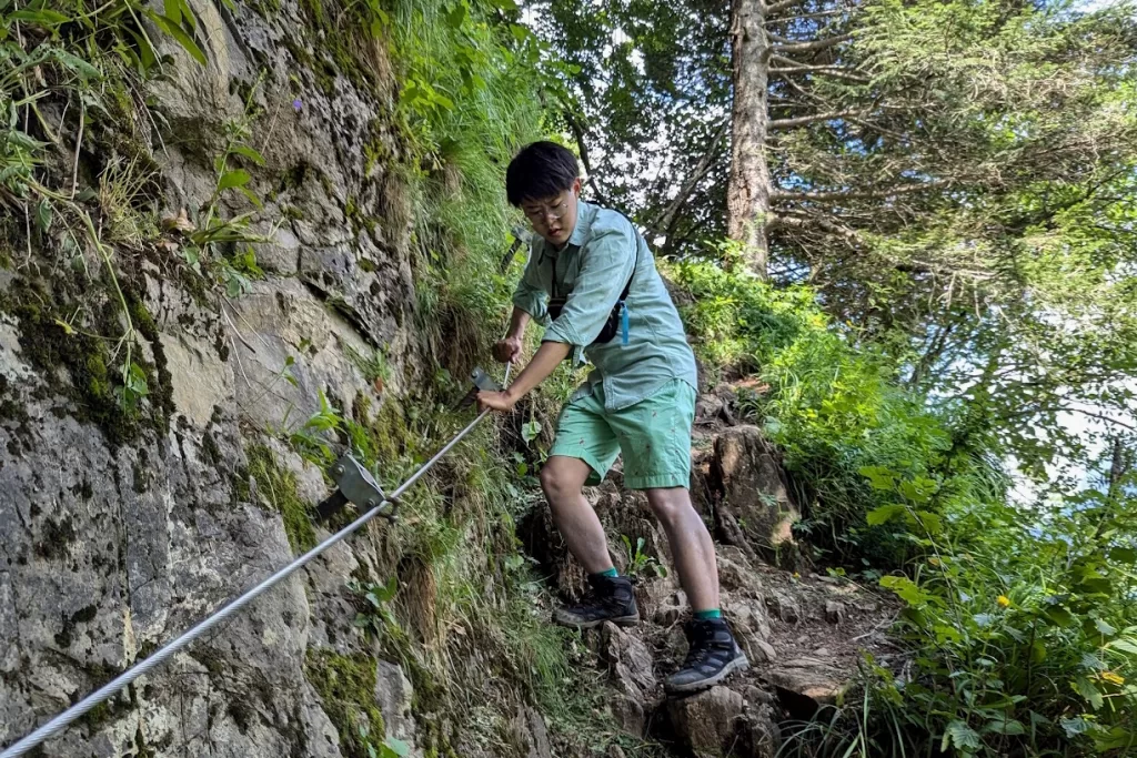
Later on, we will need to grab the metal rope to secure ourselves. Think about it: we will descend about 500 meters within 40 minutes, basically along a cliff. But once we make it to the lake, we can enjoy the natural beauty.
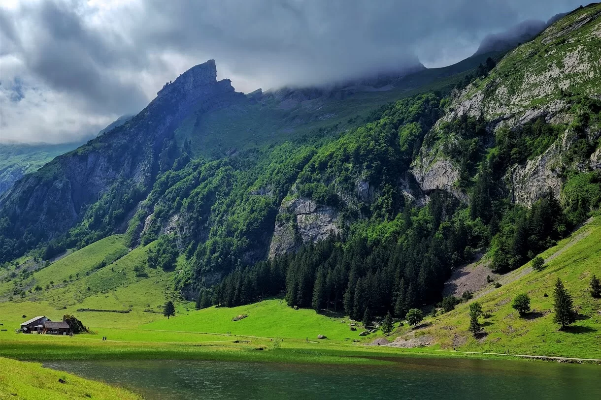
People love to relax by the lake or play in the water, but I was simply stunned by the greenish water and the mountains showing half of their faces behind the clouds. Please don’t forget to look up towards Äscher, because then you will realize how much you have achieved: climbing up there and coming back down.
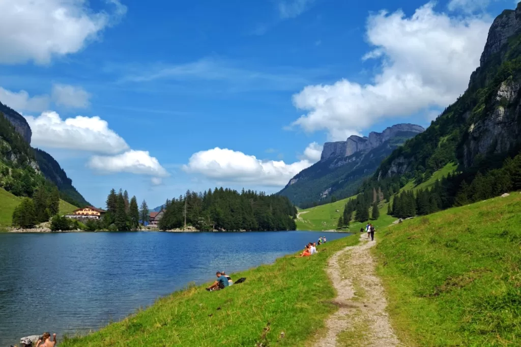
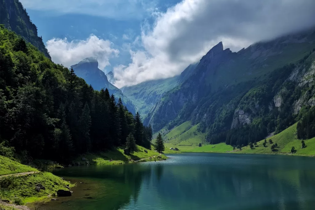
As we reach the edge of the lake, let’s make a slight left turn to the other side so we can get out of the mountains into the valley – this is the fastest way. While you’re walking on this road, you will understand why bringing trekking poles is helpful. During this last bit, all of us will use different methods to make it easier: either walking in an S shape like a snake, walking backwards, or even sideways. Anyhow, our knees will be in pain. Thankfully, this last part only lasts about half an hour.
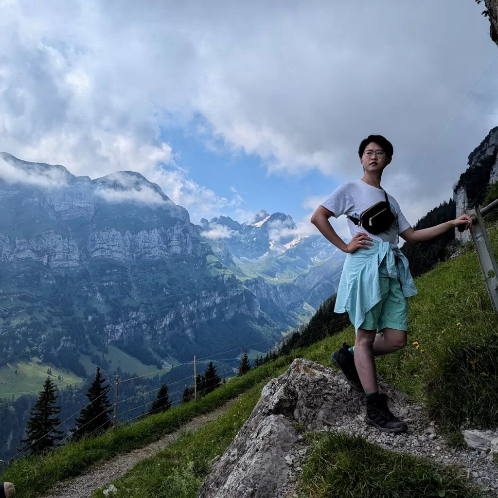
Now you have successfully completed a real tough hiking trip with us! I hope you have “enjoyed” the hike and the view. In the next blog, I am going to show you the view from the other side of the mountain. Stay tuned!
Hiking in Appenzellerland: The Stunning Äscher to Seealpsee Route
To continue our trip from the Appenzell base, we are going to start our first hike towards the magnificent and slightly rocky mountains in Appenzellerland.

As you see from the map (This map is only for summer hikes and is subject to change by Appenzell Tourism), we will depart from Appenzell to Weissbad, and hike towards Äscher (a Hütte that offers dining and overnight stays). Then, we will take an arch down to Seealpsee. Finally, we will walk down the valley to Wasserauen, where we can take the train back to Appenzell.
Before we go:
Please wear proper hiking boots that can protect your ankles – trust me, you will not want to call a helicopter to rescue you in the mountains. Bring enough water, because you will need to stay hydrated. Don’t forget your first aid kit for minor injuries. You don’t really have to bring food unless you want to, since there are multiple Hütten (guesthouses) on the mountains. Trekking poles aren’t strictly necessary, but they can make your hike easier and help protect your knees.

The train only takes 4 minutes to get to Weissbad. After arrival, most people will get onto the bus, but for this trip today, we won’t. Let’s cross the river, find the road called Triebernstraße, and follow the road, the hiking signs, and the map.

At the beginning, the road is wide, with occasional cars and cyclists passing by. But soon, we will turn onto Erstböhlstraße and then Bibern, where we won’t really see any cars. These are still very nice roads with gentle slopes.


Nice streets don’t last forever. At some point, as you see on Google Maps, we will make a left turn onto a steep yet unnoticeable path and start our “real” hike.

I know it’s getting a little tiring, but it’s okay to slow down and sometimes look back – you will see beautiful views behind you!


In rural areas of German-speaking regions, you often see thread fences to keep tourists out and animals in. Don’t touch them! Otherwise, you’ll get an electric shock. To continue the hike, there are gates with plastic handles so that hikers can open and pass through, but always remember to close the gate so the animals don’t escape!

In the Alps, we will likely see cows. I know some people like to pet them, but they are not always tame, so try not to get too close. For example, we met a super bossy cow who didn’t want us to pass.

Let’s follow the sign pointing to Äscher and keep climbing! As we do so, we will find ourselves getting closer and closer to the clouds. When we are almost there, we’ll see the rocky cliff of Ebenalp, with water drops dripping down from it.


When you see a Swiss flag, it means you have reached the first point of this journey: Äscher. This Hütte has been standing here on the cliff since 1860 and has served thousands of guests who climbed up here and continued their journeys. Why don’t we enjoy a meal and a drink here? We need to fuel up to continue this trip because what’s ahead is rough! If you want, you can also stay overnight here. For detailed information, please check here.

After Äscher, we can see a path leading straight down to the lake – Seealpsee. However, we are going to continue above, and I will bring you to the most fantastic and spectacular meadow in Switzerland! At the beginning, we will see some random woods and elevate a bit.

After that, we are going to be surrounded by a beautiful meadow filled with all sorts of flowers and herbs! The sunshine scatters across the meadow, making it golden and vibrant, which helps reduce the exhaustion of hiking. The herbs look very familiar to me because many of them are used in the stomach tea that I drink every day.


We were very lucky to see low-hanging clouds at the highest point of this hike right before we descended.

You might think that since we’ve done all the climbing, everything will be easier from here. No. We will find that even the start of the descent is unbearable: uneven stone paths and sometimes slippery because of the mountain rain.


Later on, we will need to grab the metal rope to secure ourselves. Think about it: we will descend about 500 meters within 40 minutes, basically along a cliff. But once we make it to the lake, we can enjoy the natural beauty.

People love to relax by the lake or play in the water, but I was simply stunned by the greenish water and the mountains showing half of their faces behind the clouds. Please don’t forget to look up towards Äscher, because then you will realize how much you have achieved: climbing up there and coming back down.


As we reach the edge of the lake, let’s make a slight left turn to the other side so we can get out of the mountains into the valley – this is the fastest way. While you’re walking on this road, you will understand why bringing trekking poles is helpful. During this last bit, all of us will use different methods to make it easier: either walking in an S shape like a snake, walking backwards, or even sideways. Anyhow, our knees will be in pain. Thankfully, this last part only lasts about half an hour.

Now you have successfully completed a real tough hiking trip with us! I hope you have “enjoyed” the hike and the view. In the next blog, I am going to show you the view from the other side of the mountain. Stay tuned!